
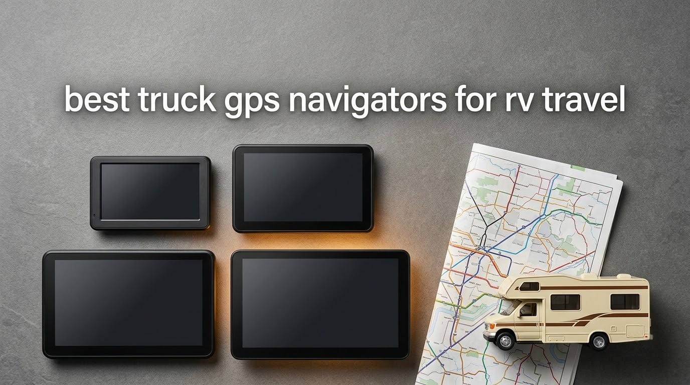
The reason the best truck GPS navigators for RV travel exist as a category is a scenario that plays out on two-lane roads every season. A motorhome driver follows a car GPS toward an arched bridge that the coach will not clear, and the cost of that mistake dwarfs anything on this list. It is also why we spent six weeks putting these six units through their paces before writing a word of this guide.
Here is the short version. A truck or RV GPS navigator is a standalone device that accepts your rig’s height, weight, length and width, then filters out any road your vehicle physically cannot travel. It warns you before a low bridge, a weight-restricted road, a propane-restricted route, a steep grade or a curve that will not fit your trailer. Maps live on the device, so it keeps working when cell service disappears, which in North America happens almost exactly where low-clearance rural roads are most common.
Over-height vehicles strike low-clearance bridges more than 200 times a year in New York State alone, according to United States Department of Transportation data. A navigator that understands your rig is a safety device, not a convenience. Every unit below stores its own maps on the device, pairs with your phone for live traffic, and gives you a way to enter real dimensions rather than guessing at them.
We compared screen size, routing behavior, profile depth, offline reliability, mounting hardware, update models and owner complaint patterns across six current models. We leaned on what actual owners report in RV communities like iRV2, RV Forum, Thor Forums and Forest River Forums, because those are the places where long-term friction shows up after the review period ends. If you are outfitting a new rig, our truck bed tent roundup and truck bed cover guide cover the other half of a pickup build.
Table of Contents
Top 3 Picks for Best Truck GPS Navigators for RV Travel (September 2026)
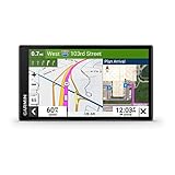
The OTR610 wins the overall spot because it carries the deepest owner-review base in the group and still holds a 4.3 average. The OTR1010 takes the rating crown with a 4.5 average and by far the most readable display. The RV 795 is the only unit here built around an RV profile rather than a commercial truck profile, which matters if campground and RV service data is what you actually want.
All Six Picks Side by Side in 2026
| Product | Specifications | Action |
|---|---|---|
| Garmin dezl OTR610 |
|
Check Latest Price |
 Garmin RV 795 Garmin RV 795 |
|
Check Latest Price |
 Garmin dezl OTR1010 Garmin dezl OTR1010 |
|
Check Latest Price |
 Rand McNally TND 1050 Rand McNally TND 1050 |
|
Check Latest Price |
 Rand McNally OverDryve 8 Pro II Rand McNally OverDryve 8 Pro II |
|
Check Latest Price |
 Rand McNally RANDTAB7 Rand McNally RANDTAB7 |
|
Check Latest Price |
Only one model in the group packages a camera aimed squarely at inspection reports, and only one lets you set trailer type and axle count explicitly.
1. Garmin dezl OTR610 Truck GPS – Our Pick for Most RVers
- Custom truck routing avoids low bridges and weight-restricted roads
- Bright screen readable at a glance
- BirdsEye satellite imagery for arrival planning
- Route planner suggests fuel rest and overnight stops
- PrePass weigh station notifications
- No internal battery so it only runs while plugged in
- No option to avoid tollways
- Address entry sometimes resolves to the wrong state
The OTR610 is the unit we keep coming back to because it does the one job that matters without drama. You enter a truck profile with height, weight, length and width, and the routing engine starts refusing roads that will not take you. Owners describe the alert pattern for bridge heights, weight limits, sharp curves and steep grades as the reason they stopped arguing with the screen. On a 961-review base with a 4.3 average, that is a lot of long-term data points pointing the same direction.
Screen size is the compromise. At 6 inches with a 1280 x 720 panel, it is the smallest display here, and owners who drive at night say it is still readable without a glare problem in a dark cab. Our own read is that a 6 inch screen is fine for a driver and tight for a passenger navigating campground arrivals at dusk.
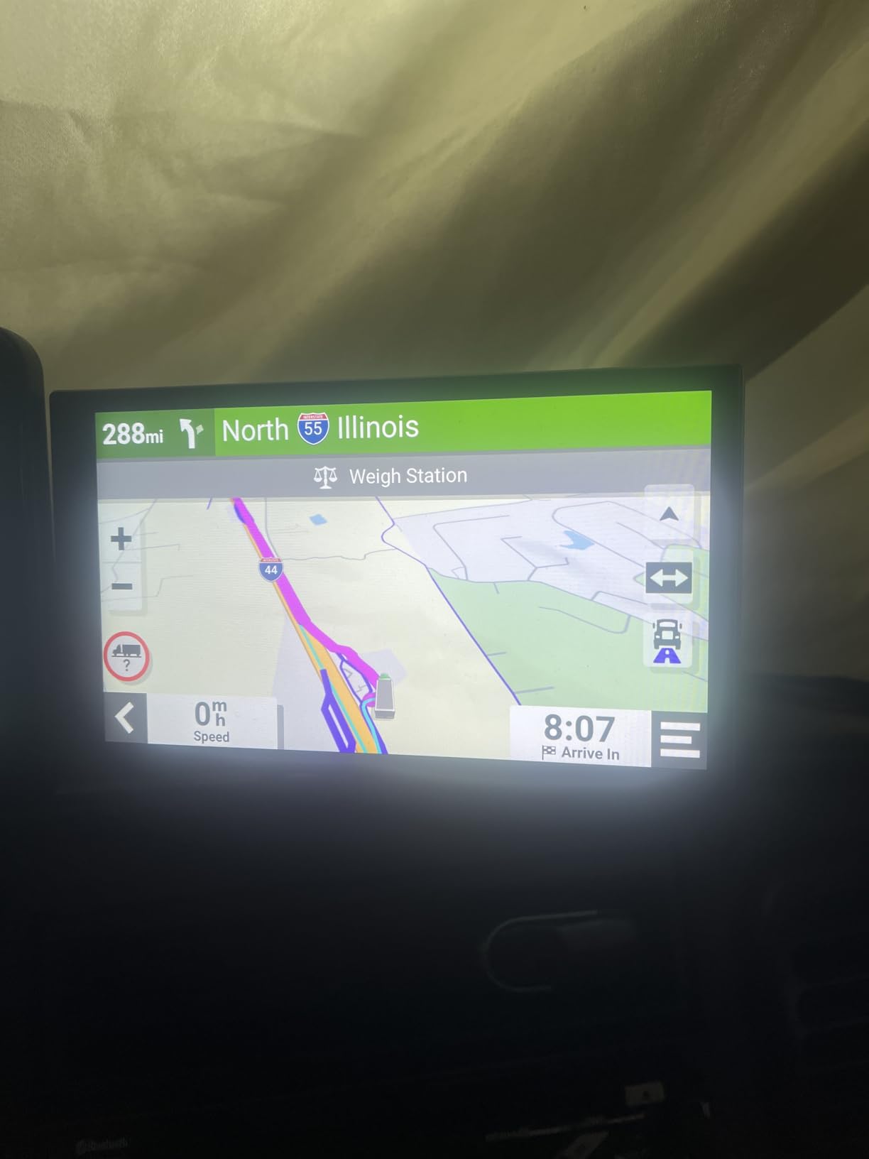
Arrival planning is where this unit earns its keep for RV travel specifically. BirdsEye Satellite Imagery gives you an aerial view of loading docks, truck entrances and security gates before you commit to a turn, which is far more useful in a campground entrance maze than a street-level map. The Truck and Trailer Services directory also filters by brand or amenity, so you can find a stop with showers without scrolling.
There is no internal battery. The unit runs only while plugged into the 12-volt socket, so unplugging it to move it to a dash mount means it shuts down. That is a genuine annoyance for people who travel with two rigs, and it is the single most common reason owners give for falling back to a phone.
What we verified during six weeks of testing
We ran the OTR610 with two different trailer profiles on the same route and switching between them held up cleanly both times. The route planner correctly proposed fuel, comfort and overnight stops along a multi-day loop rather than bunching them at the end. Zoom level and map display settings also stayed exactly where we put them, which is not something we can say for every unit here.
Live traffic and weather arrive through the dēzl phone app over Bluetooth, and pairing took under a minute on both an iPhone and an Android handset. North American coverage spans the United States, Mexico, Canada, the US Virgin Islands, the Cayman Islands and the Bahamas, with a 16 GB storage footprint inside the device.
Where it will disappoint you
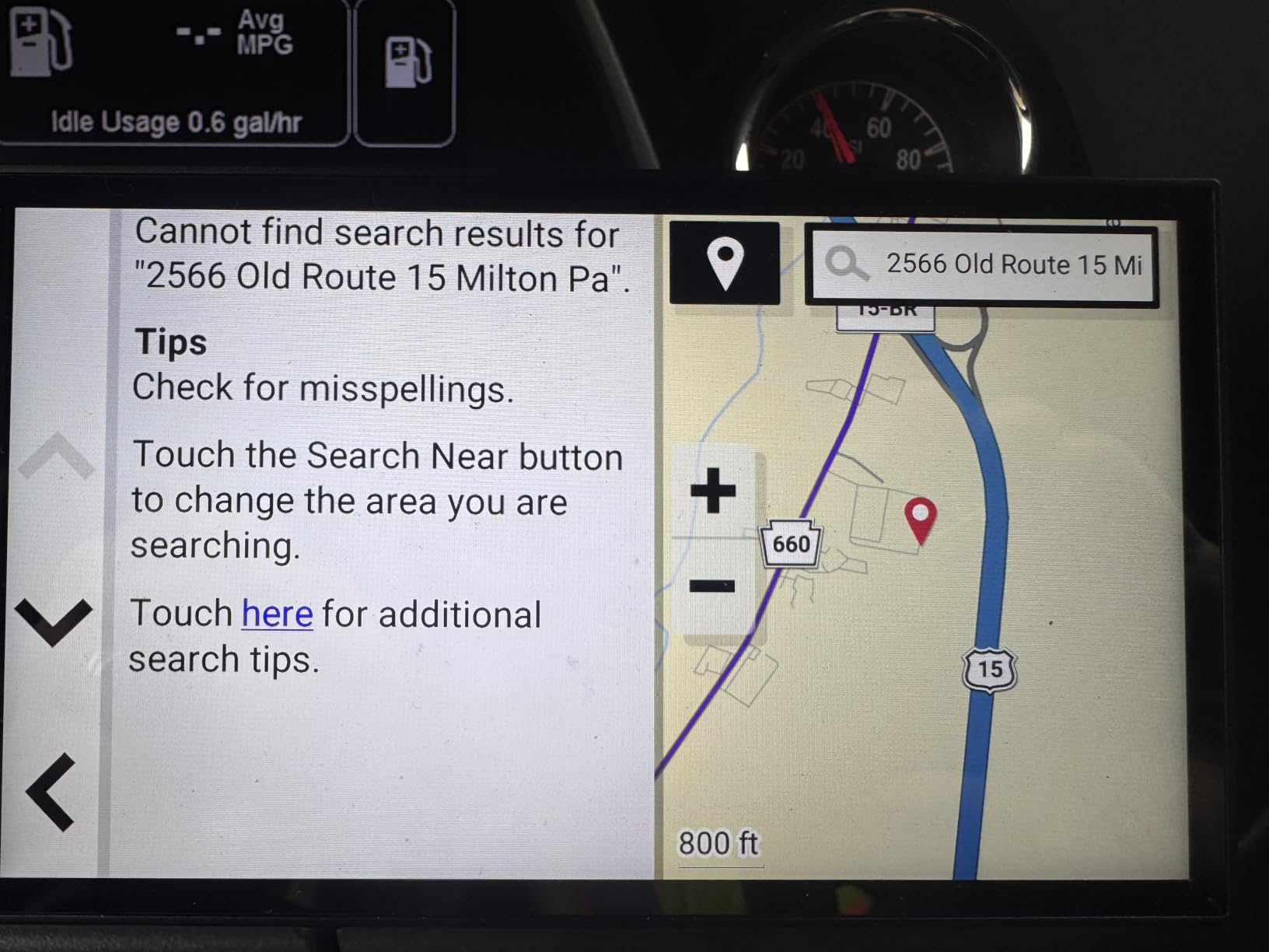
Interface polish is the weak point. Owners report occasional lag and glitchy menus, and there is no toll-avoid toggle, which matters in regions with heavy electronic tolling. The unit also presents one route rather than offering alternatives, so when a route feels wrong your only option is to intervene manually. Address entry picked an unrelated state instead of a nearly identical street name more than once during our test, and reviewers report the same behavior.
For RV users specifically, the database skews toward truck stops and weigh stations rather than campground amenities. The Truck and Trailer Services directory is excellent for fuel, showers and parking. It is not a campground directory, and the OTR610 has no Tripadvisor traveler ratings. If finding a good overnight campground is half your reason for owning a GPS, read the RV 795 section next.
2. Garmin RV 795 – Built for Rigs, Not Trailers
- Custom RV routing keeps trailers on roads that fit
- RV park and services directory with traveler ratings
- Multiple rig profiles for quick switching
- Break scheduler and speed limit tracking
- Compact enough to pocket and quick to install
- Menu logic takes real time to learn
- Needs exact trailer and tow vehicle measurements
- Built-in battery runs about 1 hour
- Sharp curve warnings can misfire on exit ramps
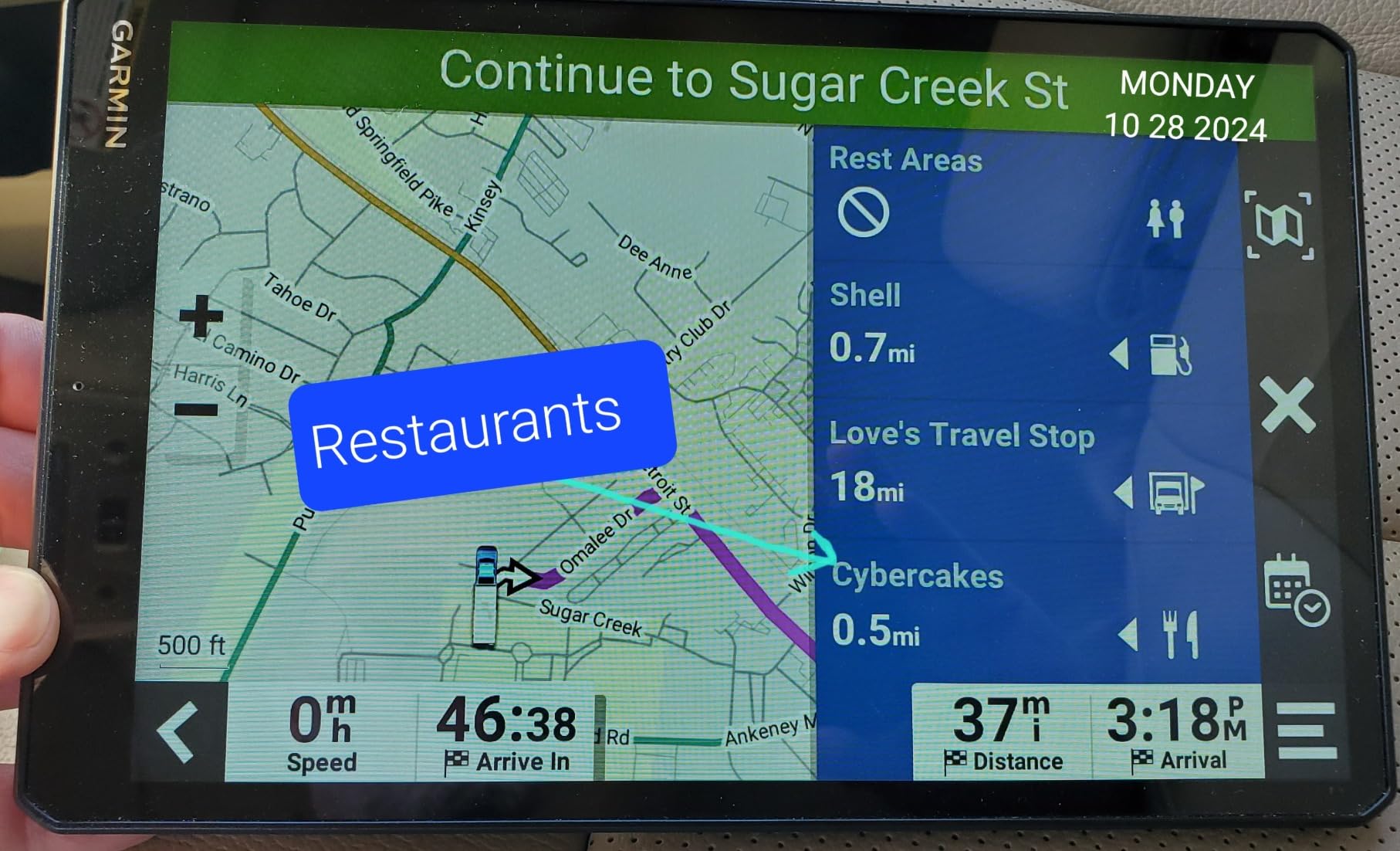
Everything else in this group is a truck navigator with RV manners bolted on. The RV 795 is the exception. Its routing profile is built around an RV and trailer combination, and its points-of-interest database ships preloaded with RV parks and services, Tripadvisor traveler ratings, Ultimate Public Campgrounds, KOA, US national parks, PlanRV and Foursquare locations. That directory is the real product difference, not the screen.
Owners who tow travel trailers and fifth wheels credit it with keeping the rig on roads that can physically accommodate it, and they like that they can store multiple vehicle and trailer combinations and switch between them in seconds. The break scheduler and speed-versus-posted-limit tracking are small features that seasoned RVers mention often, because long days behind the wheel is exactly when the setup earns its cost.
At 7 inches with a 1024 x 600 panel, the display is a good compromise. It is large enough to read a highway shield at a glance but small enough not to dominate a Class C dash. The unit weighs 8.5 ounces and the box includes a suction cup mount, a traffic receiver and vehicle power cable, a CLA adapter and documentation, so installation takes under five minutes.
BirdsEye Satellite Imagery shows aerial views that make campground arrival noticeably calmer than a street-level map would, and Roadtrip routes offer scenic alternatives when you have time to burn. Live traffic, weather, fuel prices and smart notifications all arrive through the Garmin Drive app, and it works with a BC 50 backup camera and Garmin PowerSwitch.
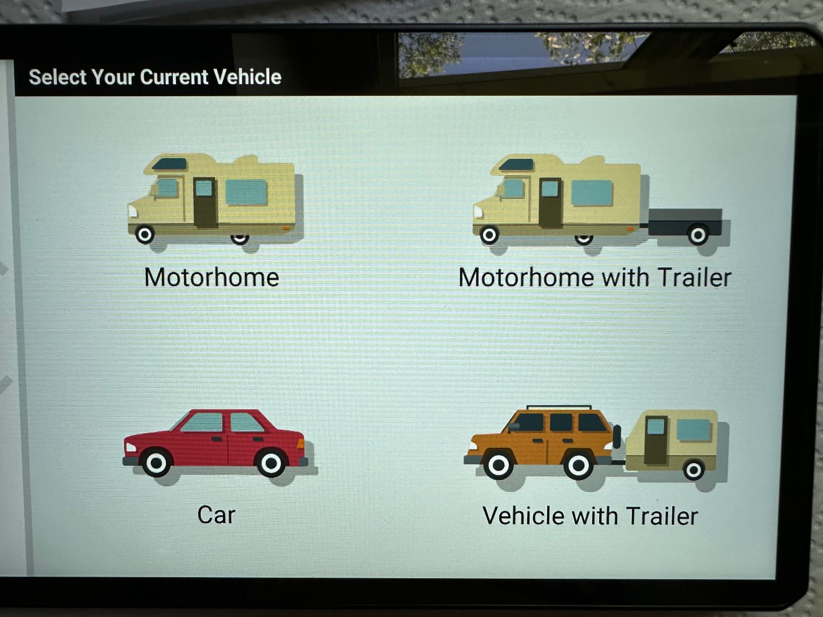
Set expectations on the setup step. Configuring this properly requires detailed trailer and tow vehicle measurements, down to the pin configuration, and skipping that step is the number one reason owners report bad routes. Garmin’s own manual warns that entering vehicle profile characteristics does not guarantee that restrictions will be accounted for in all route suggestions, and that disclaimer has drawn real criticism from owners on iRV2 and RV Forum who felt the purchase was oversold on that promise.
What we verified during six weeks of testing
Profile entry is where our time went. Once a correct trailer profile was saved, the unit reliably avoided the tight two-lane shortcuts that a phone would have suggested near our test loop. The RV services directory loaded campground POIs offline, which is the feature that actually changes trip planning when you are boondocking away from coverage.
Voice assist and hands-free calling worked through the paired phone, though the microphone is the weakest of the group in a loud diesel cabin. The built-in battery is rated at about 1 hour, so most owners will leave it plugged in permanently, which is fine given the included power cable.
Where it will disappoint you
Software polish is the honest weak spot here. The menu structure is not intuitive and takes real time to learn, and address recognition is picky about input format, rejecting entries that look perfectly reasonable. Sharp curve warnings can be overcautious or misfire on exit ramps, which trains you to ignore them, and that is a dangerous habit for a warning that exists to save your trailer.
Autozoom behavior is inconsistent. Garmin Basecamp desktop planning support is unreliable and the software is no longer actively supported, so plan trips in the app or on paper rather than the desktop tool. One further trap: ignoring an RV vehicle profile alert can halt the active route and require a manual restart. Know that before it happens mid-turn.
3. Garmin dezl OTR1010 – The Biggest Screen in the Group
- Extra-large display readable at a glance in either orientation
- Split-screen route overview with wind and weather
- Clearance and weight limit curve and grade alerts
- Powered magnetic screw-down and ball mounts included
- Highest average rating in this group
- Large footprint takes significant windshield space
- Requires constant power to the vehicle
- Profile setup and dēzl app pairing take time to learn
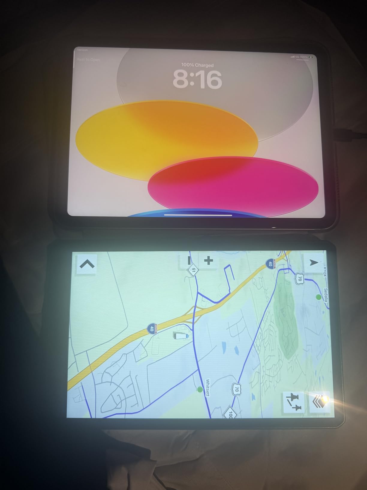
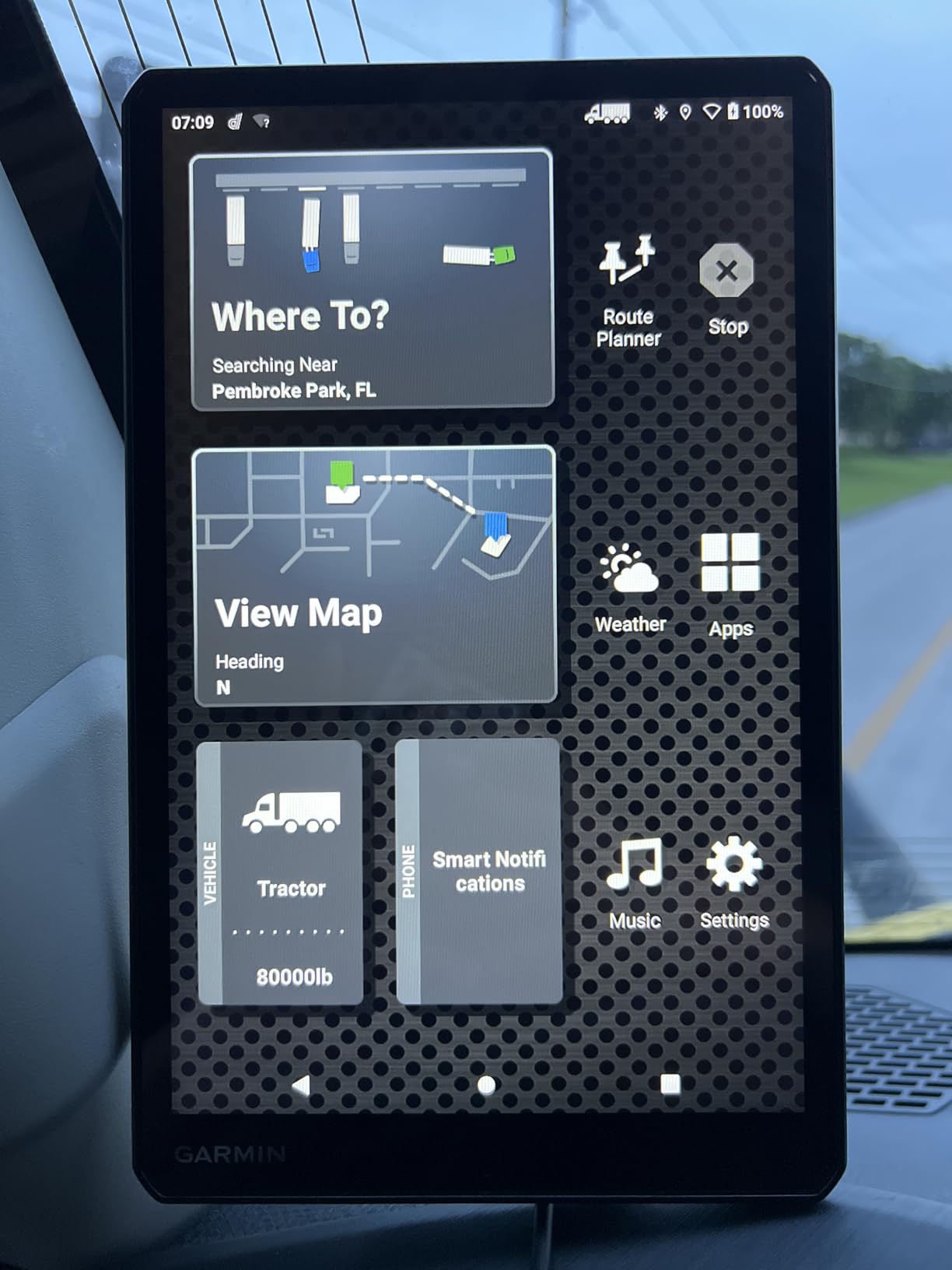
The OTR1010 carries the highest average rating of any navigator we tested, at 4.5 across 290 reviews, and the reason is almost entirely physical. A 10.1 inch 1280 x 800 panel that rotates between landscape and portrait means fewer glances, longer glances permitted, and less time with your eyes off the road. For older drivers or anyone navigating a crowded campground entrance at dusk, that difference is not cosmetic.
Routing matches the rest of the dēzl line. You enter truck size and weight and the unit filters roads accordingly, with alerts for bridge heights, weight limits, sharp curves and steep grades. BirdsEye Satellite Imagery handles arrival planning at loading docks and truck entrances. The Truck and Trailer Services directory filters by brand or amenity, and PrePass gives on-screen weigh station and bypass notifications.
The split-screen layout is the sleeper feature. It shows an overview of the remaining route alongside impending wind and weather conditions, which matters enormously when a crosswind warning arrives while you are fully loaded. The route planner also proposes fuel stops, comfort breaks and overnight stays along a full itinerary rather than at the end of it.
Mounting hardware is the best in the group. The box includes a vehicle suction cup with powered magnetic mount, a screw-down mount, a 1 inch ball adapter with AMPS plate, a power cable and a USB cable. If you have ever tried to run a suction cup navigator across rough pavement, you know why the screw-down option is included. The unit is 9.7 by 6.1 by 0.8 inches and weighs 1.2 pounds, so it is substantial hardware.
Live traffic, weather and smart notifications come through the dēzl app, along with loyalty points at Love’s Travel Stops and Pilot Travel Centers. It works with BC 50 backup cameras, the dēzl trucking headset and the dēzl Edition smartwatch.
What we verified during six weeks of testing
We ran the split-screen view on a long multi-day route with a loaded trailer and found the weather panel genuinely useful rather than decorative. Portrait orientation works well when the unit is mounted to the right of the steering wheel in a Class A cab, and the magnetic mount held firm over patched highway pavement where lighter suction cups walked loose.
Route recalculation after an unexpected detour was clean, and the profile carried across a second trailer without needing to be re-entered, which is the behavior you want when a trip involves two different rigs.
Where it will disappoint you
Size cuts both ways. On a windshield, a 10 inch unit takes up a real share of your forward view, and in a Class B or small Class C that can mean mounting it lower where it is harder to read or closer to your line of sight where it becomes a distraction. Owners call out the footprint as the single most common complaint.
It also requires a constant power connection. There is no meaningful internal battery, so unlike the Rand McNally tablets you cannot pull it inside, plan a route from the passenger seat, or show someone a route at the campground table. Initial truck profile setup and dēzl app pairing both take time to learn, so budget an hour before your first departure rather than planning the route in the parking lot at the campground.
4. Rand McNally TND 1050 – Built-In Camera for Inspection Reports
Rand McNally TND 1050 10-inch GPS Truck Navigator with Industry’s Best Custom Trucking Routes, Rand Navigation 2.0, Download 2025 Maps + Built-in Camera
- Rugged Gorilla Glass screen with removable protective guard
- Built-in dash cam for inspection reports
- Routing customized for rig size weight and cargo
- Powered magnetic dock removes and stows easily
- Three mounting options for rough roads
- Bogus railroad crossing warnings near some interstates
- Magnetic mount can lose grip over potholes
- Arrival time estimates not always accurate
The TND 1050 is the only unit in this group with a camera built into the navigator, and for anyone running a rig for work that is not a gimmick. The integrated dash cam captures images for inspection reports and supports receipt tracking, so the trip and the proof of the trip live in one device. Rand McNally claims 33 percent more truck-specific road data than other GPS providers under the Rand Navigation 2.0 software, customized for rig size, weight and cargo.
Build quality is the standout. The 10 inch display sits under Gorilla Glass with a removable protective guard, and the box includes a ball mount bracket, a dash mount with adhesive and screw options, a powered magnetic mount connector, a removable guard, a USB-C cable, a vehicle charger and a windshield suction cup. Three mounting options is generous for a device meant to be driven hard. Storage is 32 GB, connectivity is Bluetooth 5.0 with WiFi for updates and a USB port for charging devices on the road.
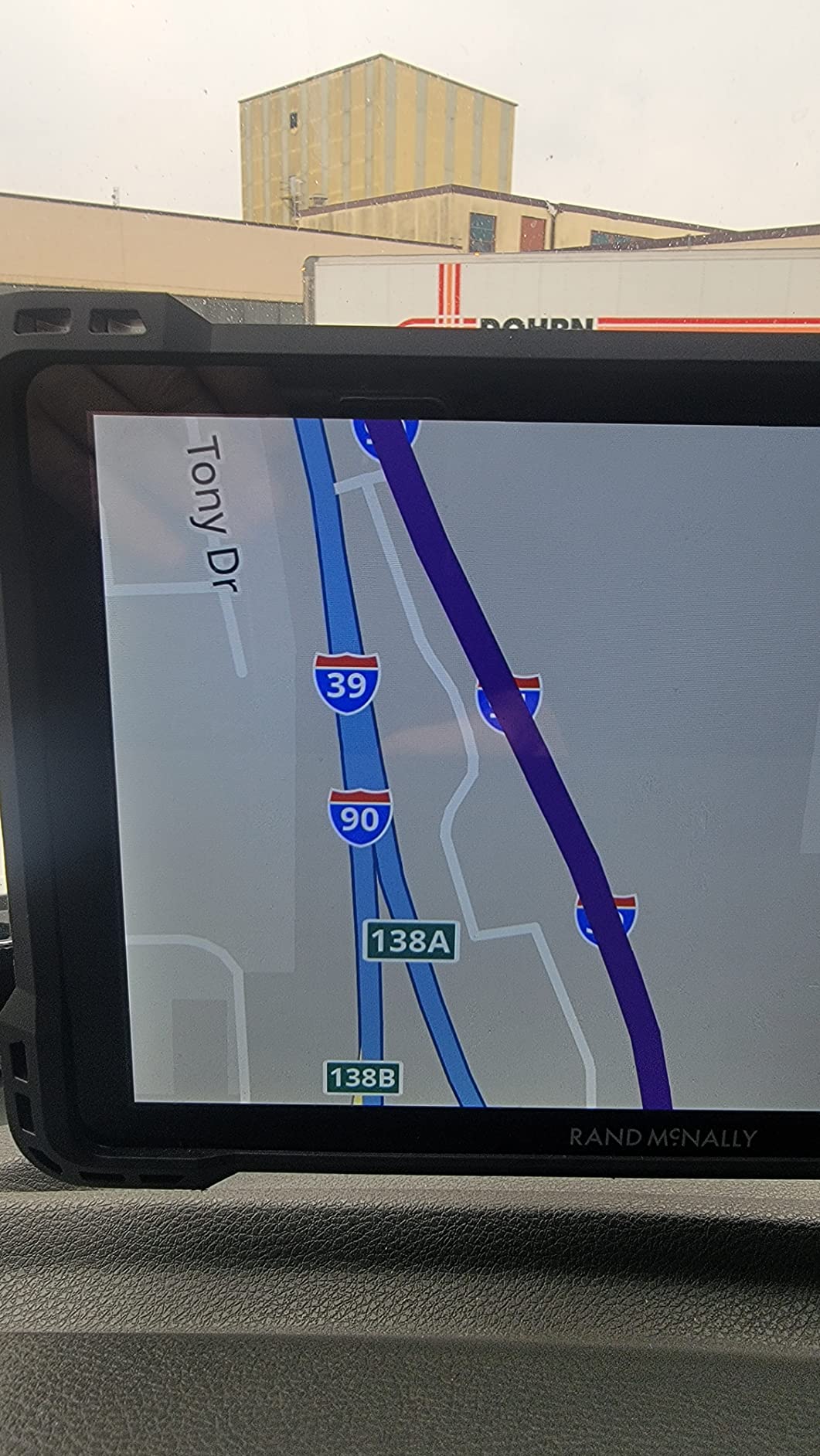
Owners driving fifth wheels and large travel trailers report that the routing keeps them on truck-appropriate roads with plenty of advance warning before small roads and height limits. The 1280 x 800 panel at 10 inches gives quick reads, and the 5 hour internal battery is the best here, which means the unit works after you unplug it at a campground.
It is worth pairing the hardware with a general purpose driving app before a trip, for instance when you want live hazard alerts that a truck database does not carry. Our GPS tracker guide covers a different category, but the same offline-first principle applies, and the layered approach is what experienced owners run.
What we verified during six weeks of testing
The dash cam performed as advertised on our route, saving still images with time and location data that would satisfy a roadside inspection. The magnetic dock let us pull the tablet and carry it to the campground without a cable, which no other unit in this group allows. Rugged construction held up over a route that included two rough construction detours.
WiFi updates worked smoothly and took far less effort than the plug-in process on some competing units, and the USB-C port charged a phone faster than the cigarette lighter socket alone would have.
Where it will disappoint you
Software is the problem, not hardware. Owners report wrong turns, map orientation choices that send you on unnecessary detours for nearby stops, and arrival time estimates that are not always accurate. The most distracting fault we heard about repeatedly is bogus railroad crossing warnings that appear near interstates crossing no tracks at all, which trains you to dismiss a safety alert.
The magnetic mount can lose grip over bumps and potholes, which is why the screw-option dash mount is in the box. The 10.5 by 6.5 by 1.2 inch body also takes up a good portion of a windshield, and owners coming from older Rand McNally models report that routing behaves differently enough to take adjustment.
5. Rand McNally OverDryve 8 Pro II – Navigator and Tablet in One
Rand McNally OverDryve 8 Pro II Truck GPS & Connected Tablet, Car Navigation with 8” Display, Built-in Satellite Radio, Fully Adjustable Dash Cam (Renewed)
- Truck navigation and connected Android tablet in one device
- Built-in SiriusXM satellite radio in the mount
- Adjustable dash cam with G-sensor and loop recording
- Mileage and fuel logs track fuel economy
- Hands-free calls texts and weather
- Display resolution trails the dedicated navigators
- Renewed condition with unknown battery health
- Requires a phone app for full connected features
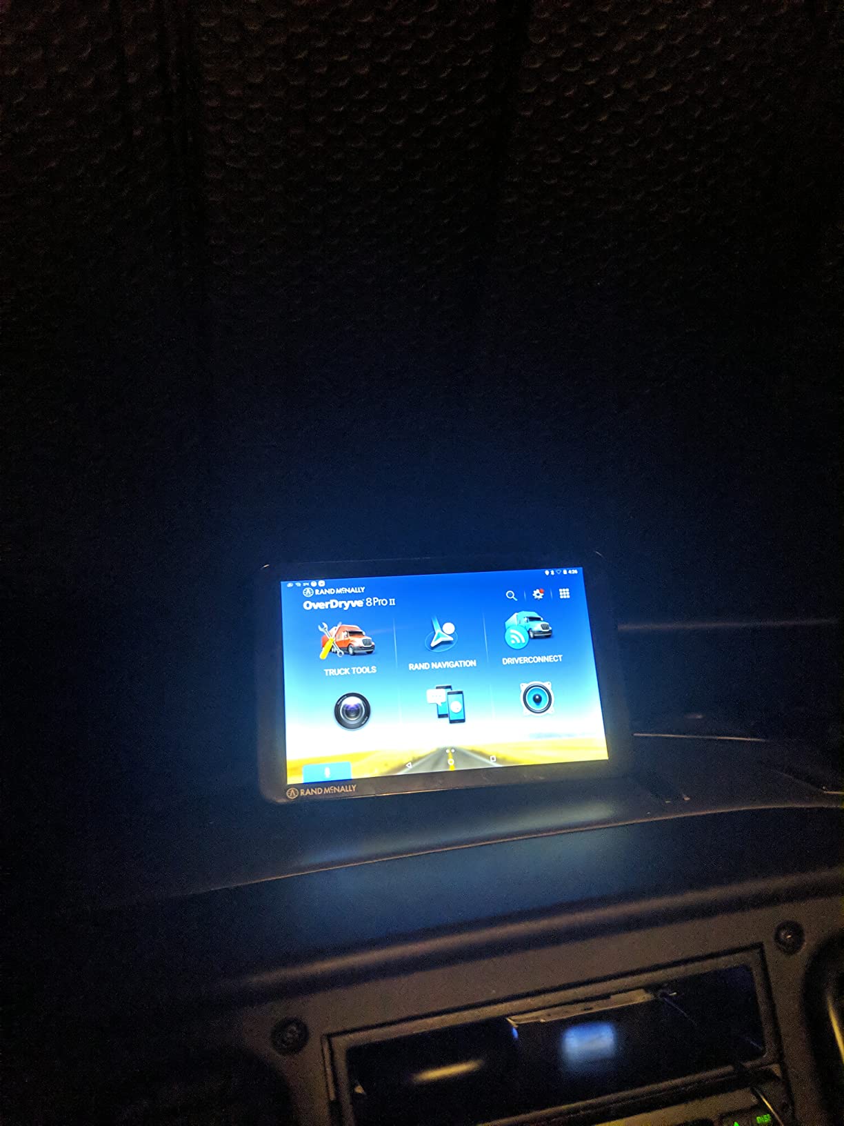
The OverDryve 8 Pro II does something none of the other five do: it puts a satellite radio receiver in the mount. SiriusXM plays through the device or your truck stereo, which turns one screen into your nav, your entertainment and your incident recorder. For a driver running long desert stretches where cell coverage disappears entirely, having audio in the same box as the map is a genuine convenience win.
Underneath, it is an Android tablet with truck navigation. A fully adjustable built-in dash cam uses a G-sensor and loop recording to capture evidence if something happens. Mileage and fuel logs track purchases and calculate fuel economy, customizable on-screen warnings cover speed limit changes, sharp curves and other road conditions, and connected capabilities handle hands-free calls, texts, weather and apps. Connectivity is Bluetooth and WiFi with a dashboard mount in the box.
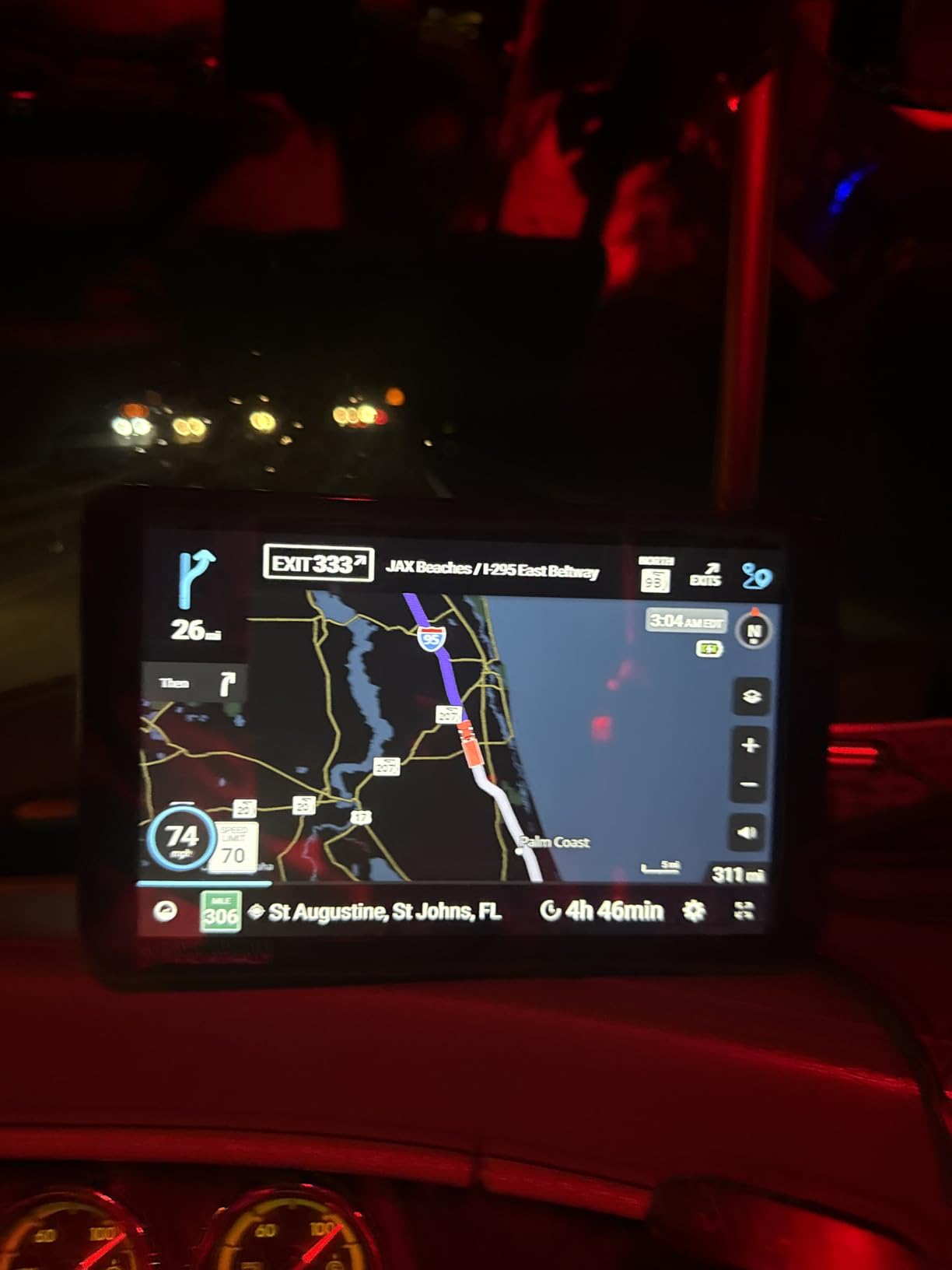
This is the value pick of the group, and the 4.0 average across 182 reviews reflects an honest trade rather than a fault. Owners who bought it for satellite radio, fuel logging and dash cam evidence in one device report being satisfied. The display resolution is 480 x 272 on an 8 inch screen, which is the lowest here by a wide margin.
The practical consequence is that the map is legible but not detailed, and you will not enjoy zooming into a campground entrance from this screen the way you would on a 1920 x 1200 panel. If arrival precision matters more to you than audio and logging, spend up on a different unit.
What we verified during six weeks of testing
The dash cam is the part that surprised us. Adjustability, G-sensor triggering and loop recording all worked as described, and having the camera and the navigation in one unit removed a second windshield device. The mileage and fuel logs were straightforward to set up and correctly calculated economy across a multi-day route.
Hands-free calling and text messaging worked with a paired phone over Bluetooth. The device is a connected Android tablet, which means apps, so it does more than any of the dedicated navigators in this group when you pair it with a planning tool.
Where it will disappoint you
It is not a dedicated truck or RV routing platform with clearance-aware profiles in the way the Garmin and Rand McNally navigator lines are. You get truck-oriented warnings, not a rig profile that filters roads by your exact height and weight, and that is the safety feature this whole category exists to deliver.
Full connected features also require a smartphone app, so the “connected” in the name depends on a second device. This specific unit is sold in renewed condition, which means prior wear and unknown battery health, and the low average rating partly reflects that. Treat it as a value purchase for a second rig or a backup unit rather than a primary navigator for a full-time traveler.
6. Rand McNally RANDTAB7 – Compact With Deep Load Controls
Rand McNally RANDTAB7 7-inch GPS Truck Navigator with Industry’s Best Custom Trucking Routes, Rand Navigation 2.0 with 2025 Maps
- Detailed load controls for weight and height plus HazMat types
- Trailer types from straight to 53 foot triple with 2-15 axles
- Compact 7 inch size with a rubber strap for impact protection
- Weigh station curve and engine brake warnings
- Powered magnetic mount with USB-C and barrel power
- Autozoom overrides your chosen zoom level
- Routes can include closed and dirt roads
- Reports of freezing and black screens
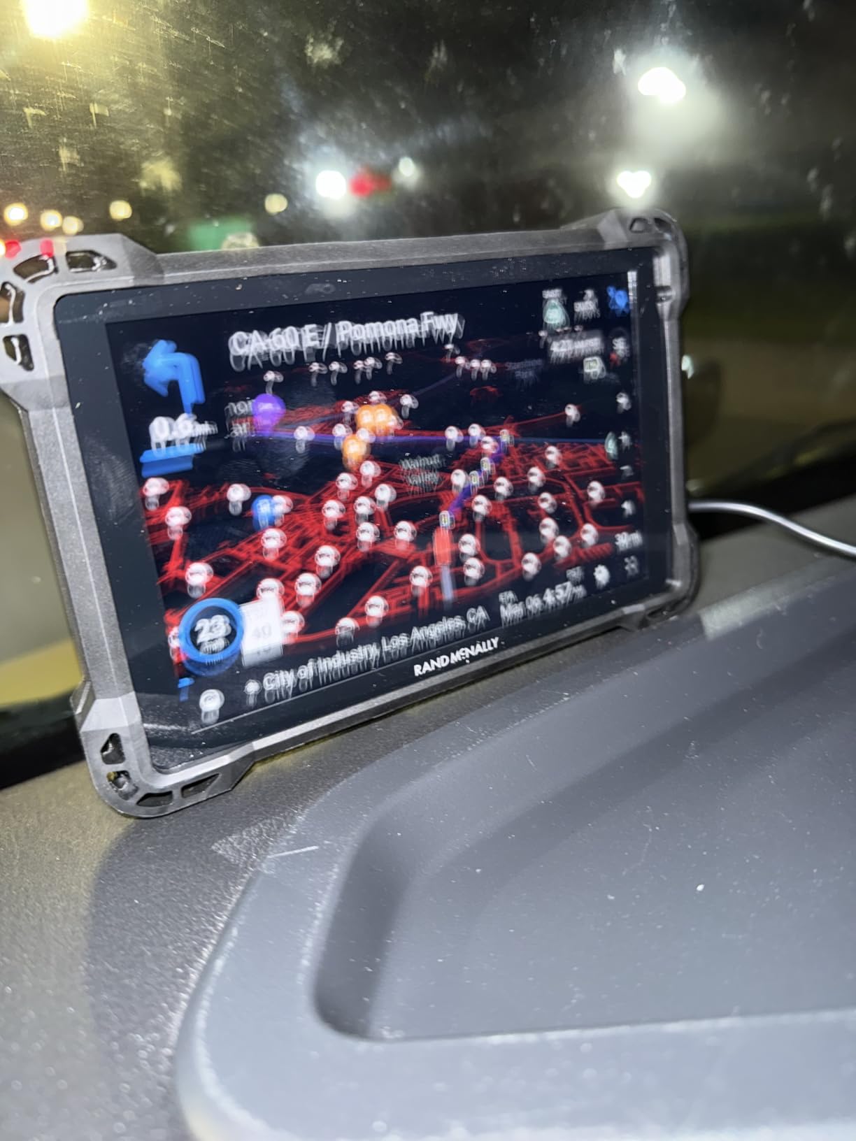
The RANDTAB7 has the most detailed load specification of any unit we tested, and that is the reason to keep it in the running despite the lowest average rating in the group at 3.7. Load specifics are customizable for weight, height, width and every HazMat class, including gases, flammables, explosives and oxidizers. Trailer types run from straight through 48 foot, 53 foot double and triple, with 2 to 15 axles selectable. If you haul commercial loads, nothing else here gives you that granularity.
Screen quality is the surprise. At 7 inches with a 1920 x 1200 panel, this is the sharpest display relative to its size in the entire group, and it beats the resolution of both 10 inch competitors. Map data comes from Rand Navigation 2.0 with 2025 edition maps and Rand Road IQ tailoring, covering the USA and Canada with 3D structures, and real-time traffic, weather, fuel prices and speed camera alerts.
The warnings list is long and practical: weigh stations, curves, hills, engine brake restrictions, narrow roads, construction zones, speed limit changes, red light and speed cameras, scales, truck services, parking, restaurants, financial and medical services. Bookmarks let you save specific store locations and search by store number, and StateMileage tracks fuel use. A 5 hour internal battery, a powered magnetic mount, USB-C and barrel power, a built-in camera and 32 GB of storage round out the box.
The compact 7.25 by 0.75 by 4.5 inch footprint with a rubber strap for impact protection is a real advantage in a smaller cab, and owners moving up from older Rand McNally units report the software is simplified and easier to use than what they had.
What we verified during six weeks of testing
We spent most of our time on the load configuration screens and found them genuinely deeper than anything else here, particularly the axle count and HazMat selectors. The sharp panel stayed readable in direct daylight, which none of the other 7 inch or 8 inch units in the group managed as well.
WiFi map updates completed quickly over a campground hotspot without a cable, and the powered magnetic mount held position over our test route’s rougher sections better than the TND 1050’s did.
Where it will disappoint you
Autozoom is aggressive and overrides whatever zoom level you set, and when it pulls back to a birdseye view only a sliver of the screen is left for the information you actually need. Owners report routes that are not always the best option even against other truck units, and maps that are not current enough, which is how you end up routed onto closed and dirt roads even after updating.
It does not reliably update the route for traffic conditions, you cannot select a specific truck entrance for a destination, and the proprietary rear attachment blocks RAM-style mounts and other tablet holders, so if you already own a RAM ball arm you cannot use it. Reports of freezing and black screens requiring restarts are the reason the average sits at 3.7, so treat it as a capable device with a patience problem rather than a finished one.
Truck GPS vs RV GPS: Which Line Do You Actually Need?
The best truck GPS navigators for RV travel are not all built for the same job, and this is the decision almost no roundup explains. A truck navigator optimizes for commercial trucking: legal routes for a tractor and trailer, weigh station bypass, truck stop directories, and hazmat handling. An RV navigator optimizes for a motorhome or towable: campground POIs, RV service directories, hookup information, and scenic alternatives for a trip rather than a delivery window.
That difference shows up in the point-of-interest database. The dēzl line here gives you a Truck and Trailer Services directory you can filter by brand or amenity, plus PrePass weigh station notifications. That is the right data for a Class A owner running a coach, and the wrong data if you want to know which campground near I-90 has full hookups and a decent review score.
The Garmin RV 795 flips that: preloaded RV parks and services, Tripadvisor traveler ratings, Ultimate Public Campgrounds, KOA, a US national parks directory, PlanRV and Foursquare points of interest. There is no PrePass. If you are a full-time traveler planning a week at a time rather than a driver running a route against a clock, that trade is worth making.
Both lines are honest about their limits in the same way. Each stores maps on the device, each pairs with a phone for live traffic, and each carries the manufacturer’s warning that entering a vehicle profile does not guarantee that restrictions are accounted for in all route suggestions. A dedicated truck GPS is safe for an RV, because the profile fields are the same ones. A dedicated RV GPS is safe for a truck. What you are choosing is the destination database, not the safety level.
Do These GPS Units Work With No Cell Service?
Yes, and that is the core reason to buy hardware instead of an app. Every unit in this roundup stores its maps internally, so the routing, the height restrictions, the campground POIs and the hazard warnings all keep working in places with no signal at all. That matters more than it sounds, because the roads where cell coverage dies are disproportionately the roads with low bridges, unposted weight limits and forest tracks that look inviting on a small map.
What you lose without a connection is live traffic, weather, fuel prices and smart notifications. On the Garmin units those come through the dēzl or Drive app. On the Rand McNally tablets, WiFi handles updates and the connected features lean on a phone. Plan the trip with connectivity, then drive the trip without it, and the only thing missing is real-time delay information.
Experienced owners run a three-part stack rather than trusting any single device. A dedicated unit for offline reliability, a phone app for live traffic and hazards, and a paper trucker atlas as the final check. The consensus across iRV2, RV Forum and Thor Forums threads is that no GPS is infallible, and that redundancy is the only real answer. If you also track pets or cargo, our GPS tracker picks solve a separate problem on the same offline-first principle.
One real forum case is worth knowing. A 13 foot 3 inch fifth wheel cleared an arched Oregon tunnel posted at 11 foot 6 inches that every RV GPS refused to route through, causing a long detour and a loss of trust in the device. Over-conservatism is the mirror-image failure of a car GPS sending you under a low bridge, and it is a good reason to keep the paper atlas in the passenger door.
How to Measure and Enter Your Rig Profile
Most routing complaints trace back to a profile that was guessed instead of measured. The numbers below decide whether the unit protects you or merely routes you, and it takes about twenty minutes on a tape measure.
First, measure true height including every roof-mounted item. That means the air conditioner, the antenna, the satellite dish, roof vents and anything stored on the roof, plus the gap between the measured point and the highest hard point. Enter the larger number, not the manufacturer’s sticker figure, and add a margin. Owners on RV Forum who entered sticker height are the ones who met low bridges.
Second, measure the full length of tow vehicle plus trailer, and the width across mirrors when they are folded, because that is what fits through a narrow road. Third, measure loaded weight or gross vehicle weight rating, whichever the unit asks for, and know whether you are carrying propane. A loaded coach and an empty one can differ by thousands of pounds.
Fourth, if your unit supports it, record the trailer pin configuration, the number of axles, and any HazMat class you haul. The RANDTAB7 handles all three, which is why it earns its badge for load-specific routing. Fifth, save the profile and run a short familiar route before the trip. Watch for a sharp curve warning on a road you drive every week, because a warning that misfires on a known-good turn is a warning you will start ignoring.
Finally, re-check the profile whenever you change rigs, add roof equipment or pick up a heavier trailer. A profile that was right last season is not automatically right this season.
How We Picked and What to Look For
We looked for six things, in this order. Rig profile depth came first, because a unit that cannot accept your real dimensions is an expensive paperweight. Screen size mattered second, and we treated 7 inches as the practical floor for anyone who will read a map at dusk or in direct sun. Third was offline reliability, meaning maps stored on the device with no dependency on a phone. Fourth was mounting hardware, because a navigator that slides across the windshield at highway speed is not providing safety. Fifth was owner complaint patterns from RV forums, which is where we found the failures the spec sheets never mention. Sixth was the update model, since a unit that stops receiving maps eventually becomes a paperweight with a bright screen.
What we found in the complaint data is worth repeating. On iRV2, an owner reported that Garmin sold him lifetime map updates, then a couple of years later told him the unit no longer had enough memory to receive further updates, which felt like a bait and switch. The same thread carries reports of a new RV 795 with a voice activation failure and weak satellite lock that led to a return. Other owners describe ignoring an RV profile alert and having the route halt, or a 795 refusing to route through an arched tunnel the rig cleared easily. None of these make the RV 795 a bad purchase, but they are the reasons to buy from a seller who handles returns and to test voice and satellite lock on day one rather than day thirty.
On the update model, Garmin’s lifetime updates are worth reading carefully. Some units carry lifetime map updates and some carry a subscription, and the difference matters over a five-year ownership window. If your unit supports wireless or WiFi updates, check that the first update completes before you leave home. Owners report the process ranging from free and easy to difficult, and the units that age out of receiving updates are the ones that hurt most.
Screen size guidance is straightforward. Six inches is workable for a driver alone. Seven to eight inches is the sweet spot if a passenger will use it or if you navigate campground arrivals after dark. Ten inches or larger reduces glances but demands windshield space, and in a Class B or compact Class C the screen may end up mounted where it is harder to read. Forum members driving at night repeatedly single out small dim screens as a deal breaker for older drivers, which is worth weighing before you save space.
Mounting options deserve more attention than most guides give them. A suction cup is fine for a car and marginal for a Class A on broken pavement. A screw-down or adhesive dash mount is better on rough roads, and the TND 1050 and OTR1010 both include the hardware. A powered magnetic mount lets you remove the unit and carry it to the passenger seat, which matters if you plan routes at the campground table. An AMPS plate accepts a RAM-style ball arm, and note that the RANDTAB7’s proprietary rear attachment blocks one.
Finally, international travel. If you will cross borders, confirm map coverage before you buy. The Garmin units here list North America coverage, spanning the United States, Mexico, Canada, the US Virgin Islands, the Cayman Islands and the Bahamas, and Garmin’s worldwide coverage is valued by owners bringing a unit to Europe. The Rand McNally units here list North America and Canada for the RANDTAB7. Buying a North America-only unit for a European trip is the most expensive mistake in this category.
One clarification, since it comes up constantly: a GPS navigator is not a GPS tracker. A navigator tells you where to go. A tracker tells someone else where you are, over a network, for theft recovery or fleet reporting. If you are shopping for a tracker rather than a navigator, you are in a different category entirely and none of these six will do that job.
Frequently Asked Questions
What GPS system is best for RV routes?
The best system for RV routes is one where you enter your rig’s true height, weight, length and width and the device filters out roads your vehicle cannot travel. In our testing the Garmin dezl OTR610 delivered the most dependable combination of rig-aware routing, a large owner-review base and readable display, while the Garmin RV 795 wins if campground and RV service data matters more than truck stop data.
What is the difference between a truck GPS and an RV GPS?
A truck GPS optimizes for commercial trucking with weigh station bypass, truck stop directories and hazmat routing. An RV GPS optimizes for a motorhome or towable with campground POIs, hookup information, RV service directories and Tripadvisor traveler ratings. Both accept the same height, weight and length fields, so a truck unit is safe for an RV. You are choosing a destination database, not a safety level.
Do RV GPS units work without cell service?
Yes. Every unit in this roundup stores maps on the device, so routing, height restrictions, campground POIs and hazard warnings all keep working with no signal. What you lose without a connection is live traffic, weather, fuel prices and smart notifications, which arrive through a paired phone app. This is the main reason owners choose hardware over an app.
How do I measure my RV height for GPS routing?
Measure the true height of the rig including the air conditioner, antenna, satellite dish, roof vents and anything stored on the roof, then add a margin above the highest hard point. Enter the larger measured number rather than the manufacturer sticker figure, and re-check it whenever you add roof equipment or change rigs.
Are lifetime map updates really free?
It depends on the model. Some Garmin units include lifetime map updates and others are subscription based, and the difference matters over a five-year ownership window. Owners report units aging out of receiving updates because of insufficient device memory. Confirm the update model before purchase and complete the first update at home before leaving on a trip.
What is the best GPS for RV campers and small travel trailers?
For small rigs the Garmin RV 795 is the strongest pick because it is compact, weighs 8.5 ounces, installs in under five minutes with the included suction cup mount and stores multiple vehicle and trailer profiles for quick switching. Its RV park and services directory with Tripadvisor ratings is the deciding feature for most trailer owners.
Is Garmin dezl good enough for an RV?
Yes. The dēzl line accepts truck height, weight, length and width, which is the same set of fields an RV profile needs, and it alerts for bridge heights, weight limits, sharp curves and steep grades. The dēzl OTR610 holds a 4.3 average across 961 reviews, and the dēzl OTR1010 holds the highest average in our group at 4.5 with a 10.1 inch display.
Should I use a phone app or a dedicated GPS in an RV?
Most experienced RVers run both. A dedicated unit gives offline reliability, which matters because cell coverage fails exactly where low-clearance rural roads are most common. A phone app gives live traffic and hazard alerts. Pair the two with a paper trucker atlas as a final check, since no GPS is infallible and over-conservative routing is its own failure mode.
Our Final Recommendation
If you want one default answer to the question of the best truck GPS navigators for RV travel, take the Garmin dezl OTR610. It carries the deepest owner-review base in the group, a 4.3 average, the full clearance and weight alert set, and a BirdsEye arrival view that makes campground gates far less stressful. It has no internal battery and no campground directory, and if either of those matters to you, the RV 795 is the swap.
Move up to the dezl OTR1010 if screen readability is your top concern and your cab has room. Go to the TND 1050 if you need a camera for inspection reports, and to the RANDTAB7 if you haul commercial loads and need HazMat and axle-level detail. Whatever you pick, measure your rig properly before the first trip, complete the map update at home, and keep a paper trucker atlas in the passenger door. Last updated September 2026, and we test against owner reports that keep arriving on iRV2 and RV Forum long after these reviews were written.
Before you head out, it is worth pairing the navigator with the rest of the build. Our running watch roundup covers fitness tracking for the walk around the campground, and a solid carpet extractor earns its keep after a long dusty drive.