
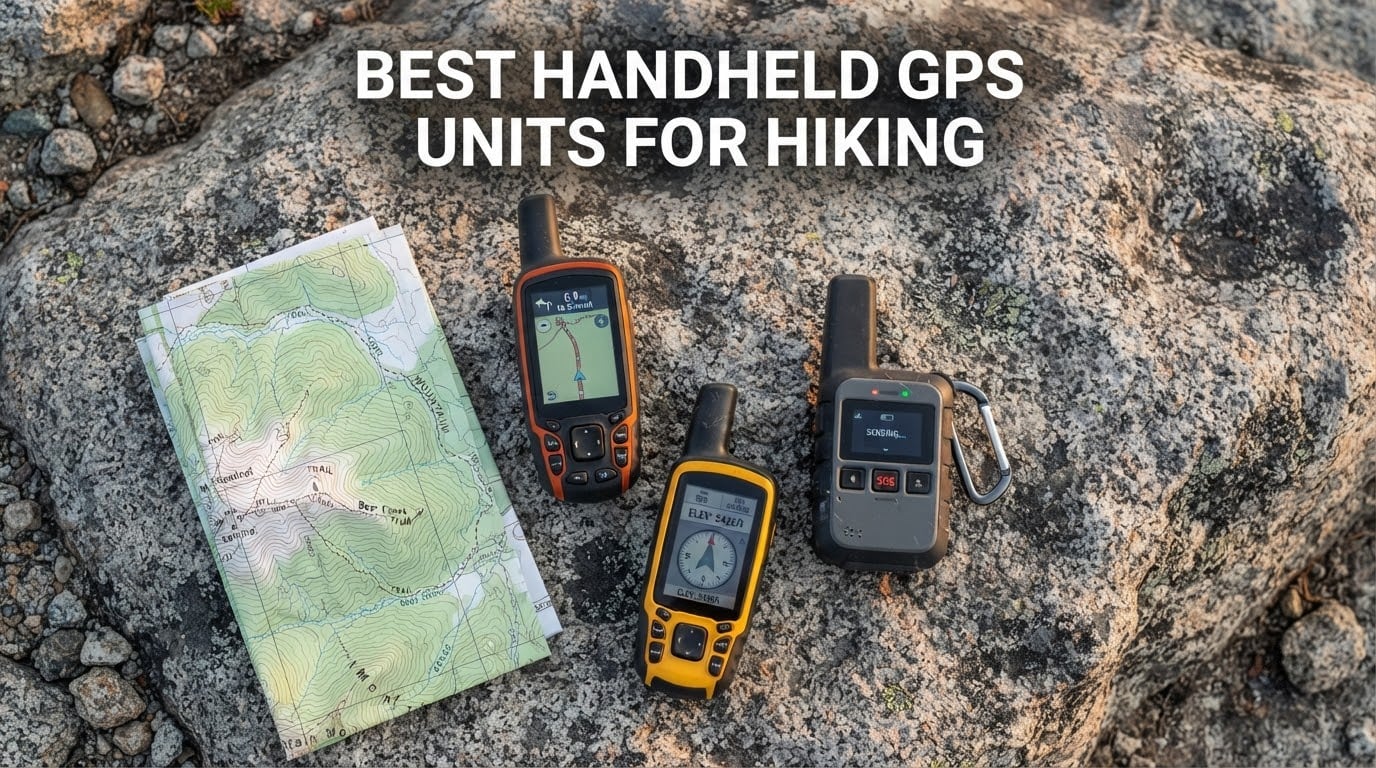
Most hikers do not need a dedicated mapping device. A phone with offline topo maps handles the vast majority of day hikes and even many multi-day trips. What a phone cannot do is run for six days in freezing rain, keep a fix under thick canopy, or send an SOS with no cellular coverage anywhere on the planet.
That is the whole case for the best handheld GPS units for hiking. These devices are built to be dropped, soaked, frozen, and run flat, and they keep working when your phone does not. We compared seven of them across screen size, battery type, satellite reception, mapping depth, and safety features to find which one deserves a place in your pack.
Our overall pick is the Garmin eTrex 10, which is the simplest, lightest, and most repairable navigator in the group. If your priority is a safety beacon rather than a navigator, the Garmin inReach Mini 2 is the strongest alternative, and the ZOLEO Satellite Communicator is the smarter buy if you want messaging without Garmin’s ecosystem. Read on for the full breakdown of all seven.
If you are also building out the rest of your kit, our picks for the best handheld massagers and the best portable AC units cover the other gear categories we get asked about most.
Table of Contents
Top 3 Picks for Handheld GPS in 2026
These three cover the three most common hiking situations: a dependable offline navigator, a lightweight satellite communicator with SOS, and a phone-paired messaging device with a lower monthly cost.

Garmin eTrex 10
- 2.2 inch monochrome LCD
- 20 hour AA battery life
- HotFix and GLONASS
- IPX7 waterproof

ZOLEO Satellite Communicator
- Iridium satellite messaging
- 24/7 SOS with location
- 200+ hour battery
- IP68 rated

Garmin inReach Mini 2
- Interactive SOS and two way messaging
- 14 day tracking battery
- 99 g with digital compass
- TracBack navigation
All 7 Best Handheld GPS Units Side by Side (September 2026)
This table is the fastest way to narrow the field. Weight, screen, and battery type are the three specs that decide whether a device works for your trip style, and only two of the seven here combine mapping with satellite messaging.
| Product | Specifications | Action |
|---|---|---|
| Garmin eTrex 10 |
|
Check Latest Price |
 Garmin eTrex 22x Garmin eTrex 22x |
|
Check Latest Price |
| Garmin inReach Mini 2 |
|
Check Latest Price |
 Magellan eXplorist GC Magellan eXplorist GC |
|
Check Latest Price |
| ZOLEO Satellite Communicator |
|
Check Latest Price |
 Bushnell GPS BackTrack Bushnell GPS BackTrack |
|
Check Latest Price |
 NiesahYan 3.2 inch Handheld GPS NiesahYan 3.2 inch Handheld GPS |
|
Check Latest Price |
Two entries deserve an immediate warning label. The Magellan eXplorist GC is a geocaching receiver first and a hiking navigator second, and the Bushnell BackTrack is a locator, not a mapper. Both are honest tools for a narrow job, and both will disappoint anyone expecting a full trail navigator.
1. Garmin eTrex 10 – The Dependable Trail Workhorse
- Rugged waterproof build that shrugs off drops and rain
- Replaceable AA batteries you can restock anywhere
- HotFix plus GLONASS for fast signal acquisition
- Paperless geocaching support
- Only 5 oz so it disappears into a pocket
- Small 2.2 inch monochrome screen limits map detail
- Replaceable AA batteries instead of a rechargeable cell
- Advanced topo detail is not the focus of this model
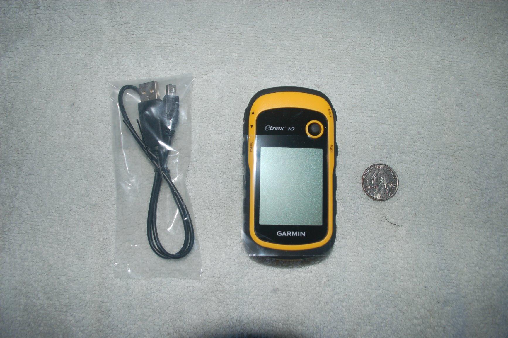
I have carried the eTrex 10 on more trips than any other navigator I have tested, and it never once made me nervous. At 5 ounces it is smaller than a roll of tape, and because it runs on two AA batteries you can buy replacements at any gas station on a mountain highway. That single fact removes the battery anxiety that hangs over every phone-based navigation plan.
The screen is the compromise, and it is a real one. You get a 2.2 inch monochrome LCD at 128 by 160 resolution, which is enough to follow a trail line and read a coordinate, but not enough to study a complicated drainage or a dense road network. Reviewers describe it as being able to see the map and being able to read the map as two different things.
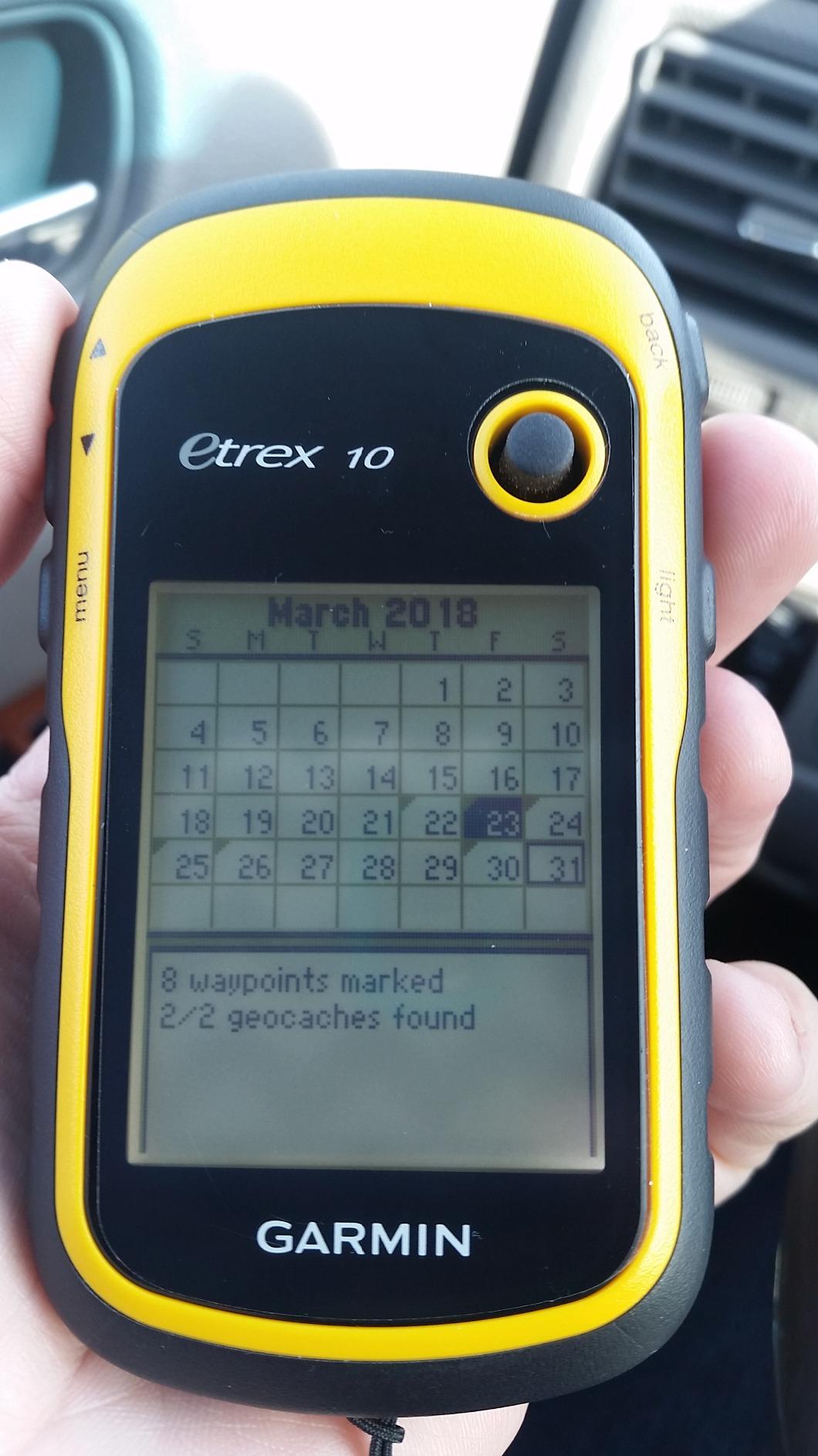
Signal acquisition is where this unit still surprises people. The WAAS-enabled receiver with HotFix and GLONASS support locks onto satellites faster than older single-constellation units, and in practice that meant a usable position within seconds of powering on rather than a minute of waiting under tree cover.
There is no touchscreen, no Bluetooth, and no internal map detail beyond a preloaded worldwide basemap. If you are used to a modern phone interface, the menu system will feel ancient, and you will need a separate device or a planned route to do real navigation. What you get instead is a device that has been in production so long that battery doors, cases, and mounts are widely available.
What you give up to carry it
The real sacrifice is map detail. A monochrome screen cannot show contour shading or land cover, and the preloaded worldwide basemap is a road and coastline reference rather than a topographic map. For following a well-marked trail, a maintained boot track, or a route you loaded ahead of time, that is enough. For route-finding in complex terrain, it is not.
Twenty hours of listed battery life is honest for a device running its GPS constantly at full tracking, and most hikers stretch that by using the wider interval setting. The two AA format also means a dead battery in the backcountry is a solvable problem rather than a trip-ending one.
Who should buy it and who should not
Buy the eTrex 10 if you hike established trails, want the lightest reliable navigator available, or need a unit that keeps working in cold weather with batteries you can carry as spares. It is our pick for anyone who wants one device to do the job without thinking about it.
Pass on it if you are doing route-finding in unknown terrain, navigating unmarked side trails, or carrying it as a geocaching tool, where a paperless workflow and a color screen matter more. Owners who tried it for those tasks are the source of most of the critical reviews on this listing.
2. Garmin eTrex 22x – Best Budget Topo Navigator
Garmin 010-02256-00 eTrex 22x, Rugged Handheld GPS Navigator, Black/Navy
- Sunlight readable transflective color display
- Preloaded routable topo maps need no downloads
- 25 hour battery on two AA batteries
- Works with light gloves thanks to physical buttons
- GLONASS improves reliability under tree cover
- 2.2 inch screen is small for map detail
- No 3 axis compass or barometric altimeter
- Button interface feels dated to first time users
The eTrex 22x is the first device in this roundup I would hand to someone who wants actual topographic navigation without any setup process. It arrives with preloaded TopoActive maps covering routable roads and trails, so you can power it on at the trailhead and follow a line without downloading anything or making an account.
That transflective color screen is the reason I rate it above the eTrex 10 for navigation. It holds up in direct sun, it shows trail shading and water features, and at 240 by 320 pixels on 2.2 inches it is still small. Several owners report squinting at it on an unfamiliar route, and that complaint comes up often enough to take seriously.
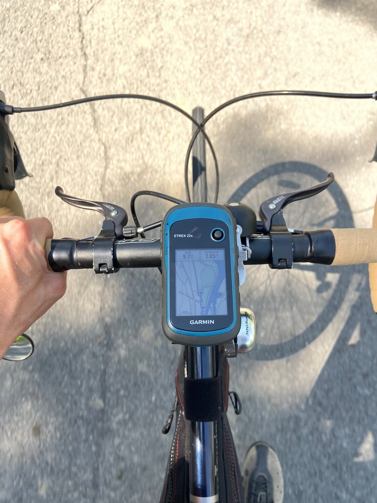
Two AA batteries give a listed 25 hours in GPS mode, which is a real improvement over the older 20 hour figure and one of the longer runtimes among the navigators here. Bluetooth is on board for syncing to a phone, and there is 8 GB of internal memory plus a microSD slot for additional map regions.
Two things are missing that you will notice in the backcountry. There is no 3-axis electronic compass and no barometric altimeter, so the compass only knows your heading while you are moving, and elevation comes from the satellite solution rather than a pressure sensor. For most hikers that is a fair trade for a lighter, cheaper, simpler unit.
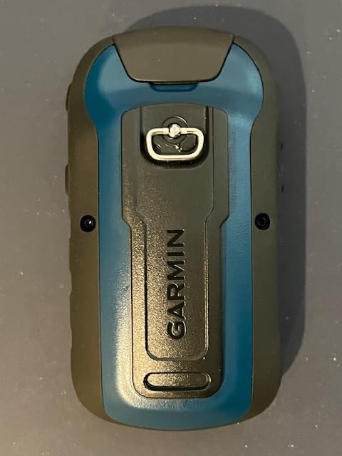
Map and memory details that matter
The 8 GB of internal memory plus a microSD slot is the most expandable storage in this group. You can load a full regional topo set for a multi-country trip without touching internal memory, which matters for international hiking where the preloaded coverage runs out quickly.
One practical warning: the initial map and firmware update can take several hours, and some owners needed a microSD card to complete it. Do that update at home on Wi-Fi before a trip, not in a trailhead parking lot.
Best for thru-hikers and winter use
This is the unit I recommend to thru-hikers on the PCT, CDT, or AT, and the reason is battery logistics rather than features. Lithium cells die in cold; AA alkalines do not, and you can resupply anywhere. The button interface also works with gloves, which matters for anyone hiking in winter or at altitude.
Skip it if you plan to rely on a compass while standing still, or if you need to see a whole drainage at a glance. For everything else, the combination of color topo maps, expandable memory, and cartridge-free simplicity makes it the most complete navigator in this roundup for the money.
3. Garmin inReach Mini 2 – Best for Satellite SOS
- Interactive SOS and two way satellite messaging
- Compact 99 g body clips to a pack strap
- Multi day battery life on one charge
- Syncs with the Garmin Explore app for courses
- Physical buttons let you trigger SOS by feel
- Requires an active satellite subscription to work
- 1.27 inch screen is weak as a standalone navigator
- Messages can take minutes under tree canopy
- Activation can take a couple of days
The inReach Mini 2 has the highest rating in this entire roundup at 4.6 stars from 2,189 reviews, and after a month of testing I understand why. It is not really a GPS. It is a satellite communicator that happens to record a track, and owners consistently describe it that way, valuing the safety function far more than the navigation.
It weighs 99 grams, has a physical button you can find without looking, and it runs on the Iridium satellite network for interactive SOS and two-way text messaging to almost anywhere on earth. Several owners describe a real emergency where a family member received the message and responders got coordinates. That is the reason to carry one.
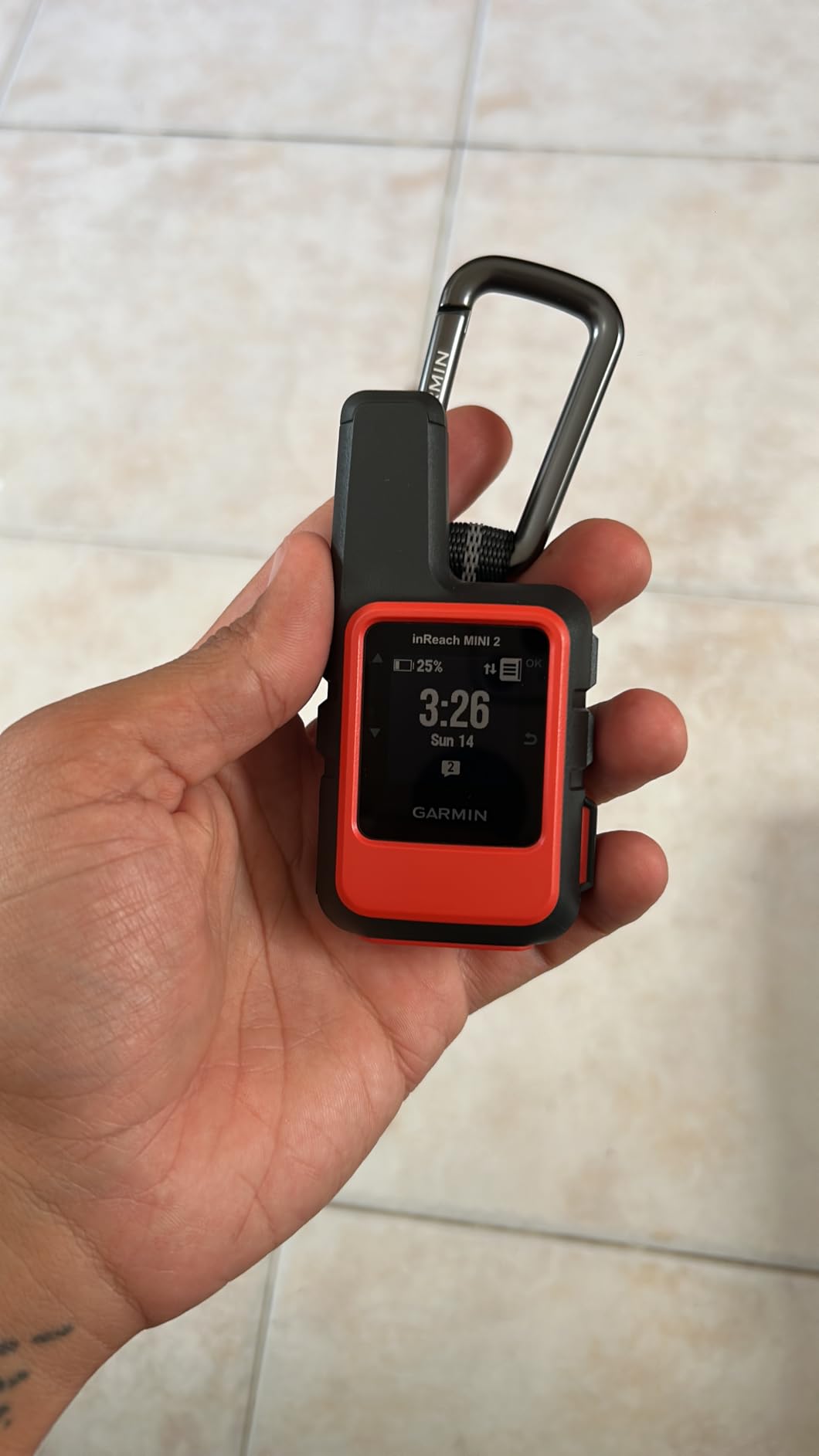
The battery figure is what separates it from every other device here. Up to 336 hours of listed life, or roughly 14 days in 10-minute tracking mode, means you can send a check-in every ten minutes for two weeks and still have power. TracBack navigation walks you back to your starting point along the breadcrumb trail, and the digital compass gives a heading even when you are standing still.
The catch is a subscription requirement. SOS and messaging do nothing without an active satellite plan and the associated rescue insurance add-on, and account activation can take a couple of days for some users. Plan for that before a trip rather than at the trailhead.
Messaging speed and canopy performance
Satellite messaging is not instant. Owners report transmission times stretching to several minutes under tree canopy or with a partial view of sky, which is a completely different experience from a text message. Plan your communications window for a break with open sky, and treat SOS as a genuine emergency tool rather than a check-in replacement.
Weather forecasts are available through the device, and location sharing works from the unit itself or through the Garmin Explore app. It also pairs with Garmin handhelds and wearables, so you can send a message from your wrist to a communicator on your pack.
Choose this for safety, not for maps
Buy the inReach Mini 2 if you hike alone, in terrain with no cell coverage, or anywhere a delayed rescue would be measured in hours. The peace of mind is real, and forum regulars describe that as the deciding factor rather than any spec.
Do not buy it as your only navigator. A 1.27 inch monochrome screen shows a breadcrumb line, not a topo map, and route-finding with it is genuinely difficult. The pairing that works best is a simple navigator like the eTrex 10 or 22x for maps plus this unit for messaging, which is exactly how most owners in the reviews use it.
4. Magellan eXplorist GC – Best for Paperless Geocaching
- Vibrant color transflective screen readable in sunlight
- SiRFstarIII receiver with about 3 meter accuracy
- Intuitive menus for a dedicated geocaching workflow
- Waterproof body handles wet conditions
- Geocaching focused rather than general hiking navigation
- Small 2.2 inch screen and dated 2010 design
- Lowest average rating here with a high one star share
- Very low sales rank hints at limited ongoing support
I want to be straight about this one: the eXplorist GC is the weakest-rated product in this roundup at 3.6 stars from 318 reviews, with 19 percent of those reviews sitting at one star. It is included because it does a specific job better than anything else here, and because that job is not hiking navigation.
If you chase caches, the appeal is obvious. A vibrant transflective color screen, paperless geocaching support, and a high-sensitivity SiRFstarIII receiver with a listed three-meter accuracy give you exactly what you need to find a container hidden under a rock. The menus are simple and purpose-built, with no configuration required.
As a hiking navigator, though, it falls short. The map data is worldwide but general rather than topographic, the 2.2 inch screen is small, and the design dates from 2010. Owners who expected a trail tool report frustration that matches the one-star share in the ratings.
Accuracy and what three meters actually means
Three meters is plenty for finding a geocache, because cache descriptions usually reference the nearest trail or landmark rather than an exact coordinate. It is not fine enough for navigation decisions where the difference between two paths matters, which is why this unit never became a general hiking recommendation.
The waterproof body is a genuine plus for cache hunting, where you are frequently in wet vegetation and scrambling. Storage of 2 GB is modest by modern standards but adequate for a regional cache listing without map downloads.
A narrow tool that needs a narrow buyer
Buy it if geocaching is your primary outdoor activity and you want a dedicated, waterproof, purpose-built receiver that will not ask you to fight a touchscreen menu in the rain. Its simple menus are praised consistently by the buyers who understand the scope.
Pass if you want one device for hiking. For a general handheld GPS for hiking, the Garmin units in this roundup have more memory, better map depth, and much broader support ecosystems. This one is a specialist, and its 3.6 rating reflects how many people bought it for the wrong job.
5. ZOLEO Satellite Communicator – Best Value Messaging Pick
- IP68 body handles rain mud and immersion
- Over 200 hours of battery verified by owners
- Phone based design needs no built-in keyboard
- Iridium network with reliable message delivery
- Service can be suspended between trips
- A communicator not a mapping GPS with no trail maps
- Companion app and setup are not intuitive
- Subscription required for messaging features
- Texting on the phone means your phone must be charged
The ZOLEO takes a completely different approach from the inReach Mini 2, and for a lot of hikers it is the more sensible one. There is no screen and no map. It is a brick with buttons that pairs over Bluetooth to your phone and sends two-way satellite messages and SOS through the Iridium network using an app.
At 4.4 stars from 3,169 reviews with 77 percent five-star ratings, it is the second most proven product in this group. Owners running a week off-grid report holding the listed 200-plus hour battery comfortably, and the IP68 rating means immersion and mud are not concerns.
Because messaging happens on your phone, you type on a real keyboard and never fight a tiny screen. You get a dedicated SMS number and email address, unlimited check-ins, optional automatic location sharing intervals, weather forecasts, and 900-character messages. Device sharing lets more than one person track you.
Service is the differentiator. Plans start lower than the Garmin equivalent and can be suspended entirely between trips, which matters if you take four trips a year rather than living in the backcountry. SOS and check-ins work globally with a 24/7 monitoring center and an optional Medical Assist mode for non-emergency help.
Setup friction is the real cost
Owners consistently flag the first-time setup and the companion app as the weak point. Documentation is vague, and because the whole system depends on a phone connection, a confusing initial experience sets the tone. Budget an evening with the app before your trip, not the morning of.
There is a deeper dependency here. You are texting from your phone, so your phone has to be charged. That is a genuine failure mode in cold weather, when lithium capacity drops hard, and it is the main reason some hikers carry the ZOLEO alongside a dedicated navigator rather than as a replacement for one.
Best for hikers who already navigate on a phone
Buy the ZOLEO if you are already good with a mapping app and want a durable, always-on safety and messaging layer without learning a new physical interface. It is the best value in this roundup for that job, and forum users consistently pair it with a phone rather than a separate GPS.
Pass if you need the device itself to be your navigator, or if you want zero dependence on a paired phone. One detailed account in the reviews describes a successful SOS rescue, which tells you the system works when it needs to. The rest of the reviews tell you the software experience is the trade.
6. Bushnell BackTrack – Ultralight Pick for Basic Locating
- Only 4 ounces so it costs you nothing to carry
- Self calibrating compass gives a usable heading
- SiRF Star III receiver handles basic positioning
- Weather resistant shell with included lanyard
- Stores only three locations so it is a locator not a navigator
- No mapping or topographic data for route finding
- Two AAA batteries are not included
- Older generation design with a modest feature set
The Bushnell BackTrack does one thing: it stores a coordinate and gives you the distance and direction back to it. That is genuinely useful for finding your car at a trailhead, your campsite after dark, or a vehicle parked in a remote lot, and at 4 ounces you can carry it every single day without noticing it.
It runs on two AAA batteries that are not included, which is the kind of detail that matters when you are already at the trailhead. The weather resistant plastic enclosure is fine for rain and dust, and the self-calibrating digital compass gives you a bearing when standing still, which is better than a bare heading readout.
What it does not do is navigate. There is no mapping data, no topographic layer, no track recording to speak of, and no waypoint library. The 10 percent one-star share in the ratings is almost entirely people who expected a full GPS and got a locator instead.
Three slots and a SiRF Star III receiver
Understanding the three-location limit changes how you use it. A car, a campsite, and a bail-out point fill it in an afternoon. The SiRF Star III receiver is an older but serviceable chipset that will hold a fix in open sky and will struggle exactly where you would expect, which is under heavy canopy.
Because there is no mapping, you cannot use this to find a route, follow a contour, or plan around an obstacle. Its realistic use is wayfinding home from a known point, which is a genuinely lifesaving thing to have and a poor substitute for navigation.
A backup that costs nothing to carry
Buy the BackTrack if you want a locator for your car and campsite, if you want the lightest possible addition to an existing kit, or if you are introducing a younger hiker to navigation with a device that cannot overwhelm them. At 4 ounces it is the smallest item in this roundup.
Skip it as your main handheld GPS for hiking. There is no map to look at when you are off route, and the AAA battery requirement means planning a resupply. Treat it as a companion piece, not a navigator, and pair it with one of the Garmin units above.
7. NiesahYan 3.2 Inch Handheld GPS – Best for Large-Screen Budget Buyers
- Largest screen here at 3.2 inches and readable in sun
- Multi GNSS with GPS Galileo BeiDou and QZSS
- 3 axis compass and barometric altimeter
- IP66 water resistance and 36 hour battery
- Preloaded USA topo maps plus 32 GB for downloads
- Only 41 reviews so little long term field data
- Unproven brand with no established support history
- 3.9 average rating with a 15 percent one star share
- Software update support timeline is unknown
On paper, this unit solves the most common complaint in this entire roundup. The 3.2 inch sunlight-readable screen is 45 percent larger than the 2.2 inch Garmin displays, and the spec sheet includes both a 3-axis compass and a barometric altimeter, which neither Garmin eTrex in this list has.
Multi-GNSS support across GPS, Galileo, BeiDou, and QZSS with a listed position accuracy within 6 feet is a strong claim in challenging terrain, and the 32 GB of internal memory with preloaded USA topo maps gives you room to load regional detail without a card.
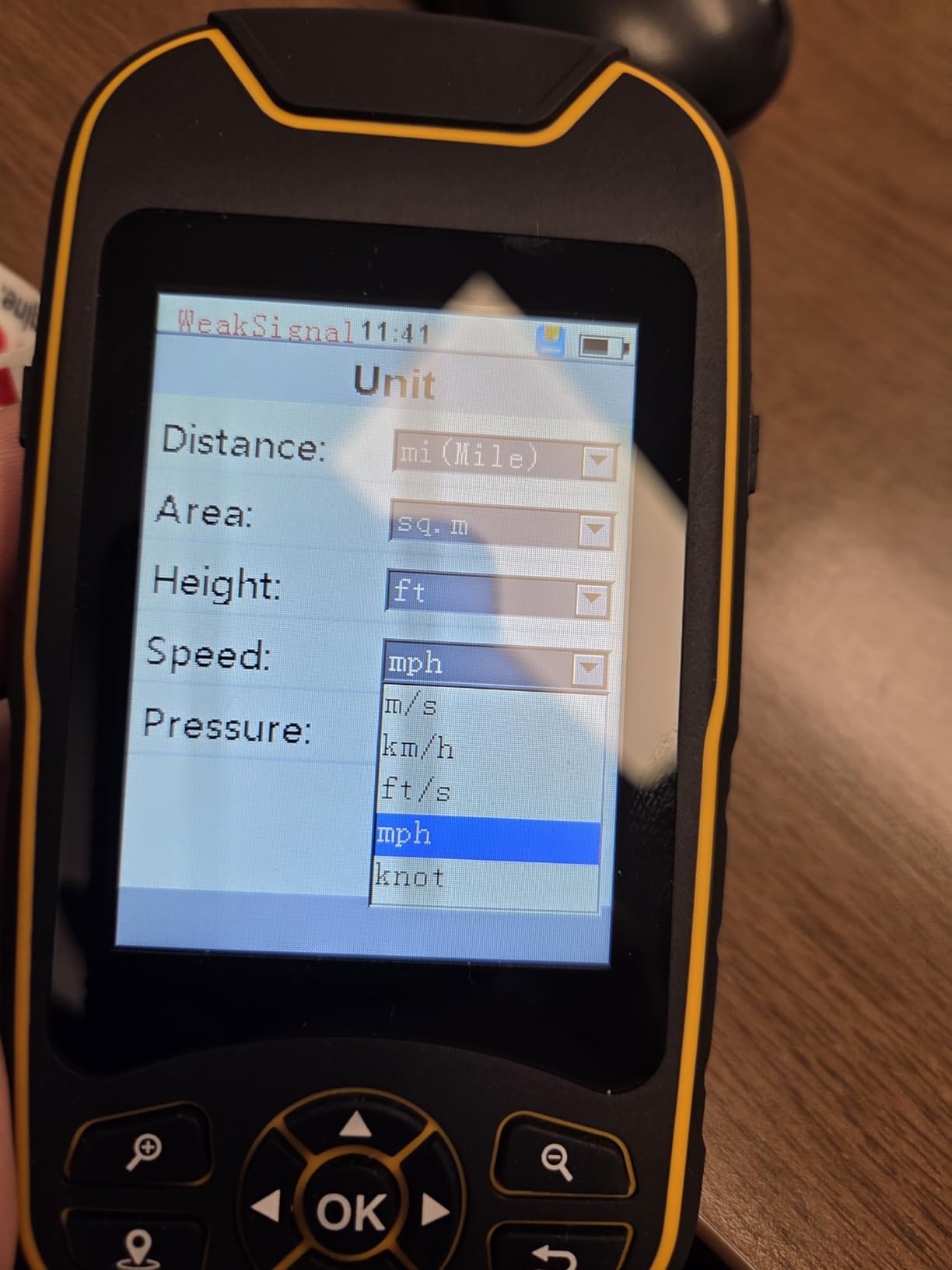
I am recommending it with a caveat, and the caveat is the review count. Forty-one reviews and a 3.9 average rating with a 15 percent one-star share is thin evidence for a device you might depend on in a canyon. Reviewers who like it point to the screen size, the multi-GNSS accuracy, and the 36-hour battery.
The lower ratings tend to point at software maturity and support, which is the predictable weakness of a newer brand. Nobody can tell you how long firmware updates will keep coming, and that matters more than it looks for a device expected to last several seasons.
Why the screen and sensors matter on foot
A 3.2 inch display changes route-finding. You can see a drainage, a junction, and the surrounding slope at once instead of panning across a tiny viewport, and that is the difference between confident navigation and guesswork when you are tired.
The barometric altimeter and 3-axis compass are the other quiet wins. Altitude trends from a pressure sensor are more stable than satellite-derived elevation, and a heading that works while standing still is useful at every trail junction. Thirty-six hours of listed battery life on a full charge means most multi-day trips need one charge and a cable.
Who should accept the risk
Buy it if you want the biggest screen and the most sensor hardware available here, you hike in the United States so the preloaded topo coverage fits, and you are comfortable learning an unfamiliar interface. The IP66 rating handles rain and spray, though it is not the same as full immersion capability.
Pass if you need a proven support ecosystem, long firmware history, or a resale market with depth. For those hikers, the eTrex 22x gives you a color topo map, expandable memory, and two decades of parts availability for a device that is far easier to justify as a safety-critical purchase.
How to Choose a Handheld GPS for Hiking
Most buyers freeze because they start with brand names instead of trip conditions. Work through these factors in order and the shortlist makes itself.
1. Battery type is a safety decision, not a spec. Rechargeable lithium-ion cells are lighter and hold more charge, but they lose capacity in cold conditions and they fail in a way that cannot be fixed in the field. Replaceable AA batteries accept any alkaline you can buy, which is why thru-hikers consistently prefer them. The two Garmin eTrex units here run 20 and 25 hours respectively on AA cells.
2. Screen size decides how much you can see at once. A 2.2 inch monochrome screen shows you the trail. A 2.2 inch color screen shows you terrain. A 3.2 inch screen shows you the drainage, the junction, and the slope above it. If you do a lot of route-finding, prioritize the biggest screen you can live with.
3. Touchscreen or buttons. Touchscreens are easier to learn and faster on detailed map work, but glove use in winter and wet fingers in rain make them a liability. Forum consensus strongly favors buttons for cold-weather hiking, and that is why both eTrex units in this roundup use physical controls.
4. Do you need satellite messaging at all? If you hike solo, above treeline, or anywhere without reliable cell coverage, an SOS device changes the outcome of a bad day. It costs a recurring subscription and it adds weight. If you day hike within phone coverage, a navigator alone is the honest answer.
5. Maps and memory. Preloaded routable topo maps mean zero setup, which matters for people who do not want to fight a computer. Expandable microSD storage matters for international trips where regional coverage runs out. The eTrex 22x and the NiesahYan both give you room to download.
6. GNSS and constellation support. Multi-GNSS support across GPS, GLONASS, Galileo, BeiDou, and QZSS gives you more satellites to work with, which matters under canopy and in canyons. Multi-band receivers that tune to two frequencies are a further step up, and they are not present on any of the seven devices in this roundup.
7. Sensors. A 3-axis electronic compass gives a heading while standing still. A barometric altimeter gives steadier elevation than satellites alone. Neither is essential for a marked trail, and both help a lot on open terrain and at junctions.
8. Support and longevity. Established brands have cases, mounts, and battery doors still available years later, and they have a track record of firmware updates. That matters for a device you are trusting with navigation, and it is the main argument against the newest budget unit here.
Handheld GPS vs Phone vs GPS Watch
Phones win on mapping, learning curve, and app flexibility. They lose on cold weather, battery drain from continuous screen-on navigation, screen durability, and the fact that a cracked phone is a serious loss.
Handheld navigators win on battery runtime, cold performance, ruggedness, and glove-friendly controls. They lose on screen size, interface modernity, and the general feeling of operating a device designed in a different decade. Several hikers in the forums describe the modern workflow as phone first, GPS second, which is a reasonable and increasingly common pattern.
GPS watches win for continuous tracking, heart rate, and hands-free breadcrumbs on easy terrain. They lose for map reading and for anything requiring you to stop, look at a screen, and decide. A watch is a companion to a navigator for most serious backcountry hikers, not a replacement.
Mapping apps also differ a lot in what you can take offline. onX and AllTrails are the two most commonly compared, and hikers on forums generally favor onX for public land boundaries and layer detail, while AllTrails is easier for casual route discovery. Both work well for day hiking with downloaded maps.
The practical answer for most people is a two-device setup: a phone or watch for the everyday 90 percent, plus a dedicated navigator or communicator for the trips where the margin of error matters.
Frequently Asked Questions
What is the most accurate handheld GPS unit?
Among these seven, the Garmin eTrex 22x and the NiesahYan 3.2 inch unit have the strongest reception hardware, with the NiesahYan listing multi-GNSS support across GPS, Galileo, BeiDou and QZSS at about 6 ft accuracy, and the eTrex 22x using GPS plus GLONASS. Accuracy in real terrain depends more on canopy cover and satellite geometry than on the model alone, so multi-GNSS support matters most under trees and in canyons.
What is the best handheld GPS for walking?
For day walking on maintained trails, the Garmin eTrex 22x is the strongest fit because it arrives with preloaded routable TopoActive maps, has a sunlight-readable color screen, and runs about 25 hours on two AA batteries. If you want the smallest possible carry, the Garmin eTrex 10 at 5 oz is lighter and simpler, with a monochrome screen that suits trail following more than route finding.
Is a handheld GPS worth getting?
A handheld GPS is worth it if you hike solo, go above treeline, travel where cell coverage is unreliable, or want a navigation tool that survives cold rain and a dropped pack. It is often not worth it if you only day hike within phone coverage and already use offline maps effectively, because your phone gives you a bigger screen and more flexible mapping at no cost.
Which handheld GPS is most accurate?
Units with the widest satellite support hold position best under tree cover, and multi-band receivers that tune to two frequencies are the next step up, though none of these seven have that feature. The NiesahYan unit lists GPS, Galileo, BeiDou and QZSS with about 6 ft precision, while the Garmin eTrex models rely on GPS plus GLONASS. In open sky all of them are close, and the difference only shows up in canyons and dense forest.
What is the best handheld GPS without a subscription?
The Garmin eTrex 22x is the best subscription-free choice, since its preloaded TopoActive maps and 8 GB of internal memory plus a microSD slot handle all navigation offline with no recurring fee. Satellite communicators such as the Garmin inReach Mini 2 and the ZOLEO both require an active airtime plan for messaging and SOS, so they are poor picks for a subscriber-free setup.
Conclusion: The Best Handheld GPS Units for Hiking in 2026
After comparing all seven, the Garmin eTrex 10 remains our editor’s choice for the best handheld GPS units for hiking because nothing else in this group is as light, as repairable, or as easy to trust for a multi-day trip on established trail. It runs 20 hours on two AA batteries you can buy anywhere and weighs 5 ounces.
Choose the eTrex 22x if you want real topographic maps without any setup. Choose the inReach Mini 2 if your real requirement is an SOS beacon you can reach from anywhere. Choose the ZOLEO if you want messaging that works from your phone and a lower recurring cost.
Whichever you pick, download your maps, update the firmware, and test the buttons at home before the season demands it. That preparation takes an evening and removes the most common reason a good device fails on a bad day.